uPointsv
The next image indicates scanned points of a small island.
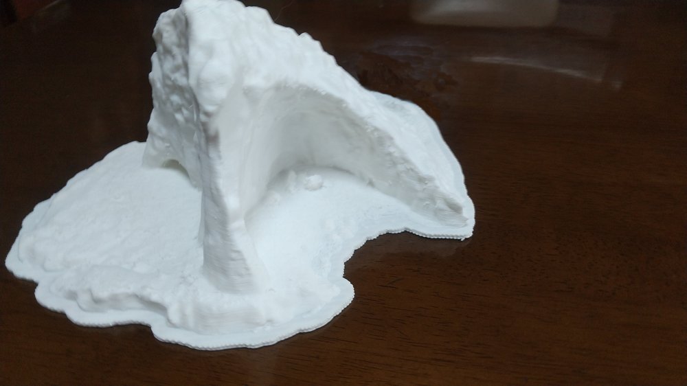
There are a large cave and overhung landform on the island.

![]()
uPolygonsv
scanned data od a small island to Polygons
uPointsv The next image indicates scanned points of a small island.
uPolygonsv
There are a large cave and overhung landform on the island.

![]()
![]()
According to the new method, polygons are generated.
Images at two viewpoints are indicated.


Reverse Viewpoint

The Surface of the Polygons are TIN(Triangulated Irregular Network). The zoom image of a part is indicated.

The polygons data are changed to solid states through 3D printer. The photo is the next.
